This content is for Premium Subscribers only. To view this content, login below or subscribe as a Premium Subscriber.
Related News Articles


2 min
2 min
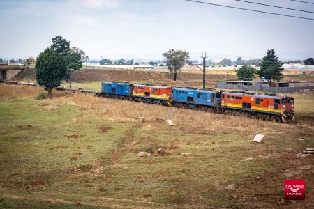
Transnet Board Term Extended by Six Months
17 July 2026
SADC, South Africa
1 min

3 min

1 min
Transnet Issues RFP for LeaseCo as Rolling Stock Access Moves into Focus
22 June 2026
SADC, South Africa
2 min
South Africa, New Safety Permit Fee Model Approved for Implementation
21 June 2026
SADC, South Africa
1 min
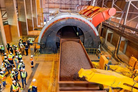
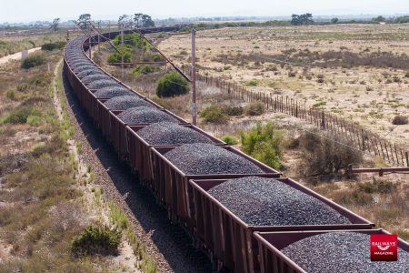
Transnet Starts Commissioning New Tippler at Saldanha Iron Ore Terminal
07 June 2026
SADC, South Africa
3 min
1 min