This content is for Premium Subscribers only. To view this content, login below or subscribe as a Premium Subscriber.
Related News Articles
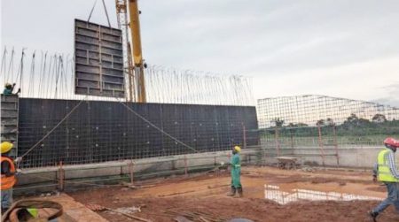

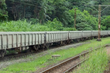
Uganda Issues Tender for Rehabilitation and Overhaul of 300 Wagons
27 March 2026
East Africa, Uganda
1 min
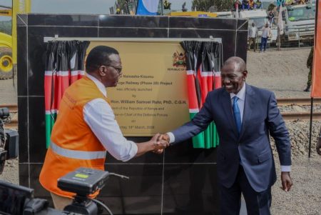
Kenya Launches Construction of SGR Phase 2B Linking Naivasha to Kisumu
20 March 2026
East Africa, Uganda
1 min
Government Signs MoU with Orascom for Kampala LRT Feasibility Study
20 March 2026
East Africa, Uganda
1 min
Uganda Set to Advance Rail Reform with National Policy and Railway Master Plan
20 February 2026
East Africa, Uganda
1 min
Uganda:Harnessing Government Policies for Private Sector Under Tenfold Growth
31 August 2025
East Africa, Uganda
2 min
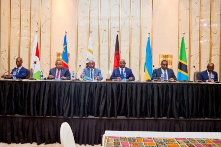
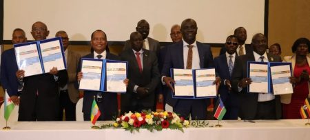
Kenya and Uganda Deepen Ties with Eight New Agreements
25 August 2025
East Africa, Uganda
1 min
3 min
Uganda Railways Corporation Supply of Locomotives
17 March 2025
East Africa, Uganda
1 min